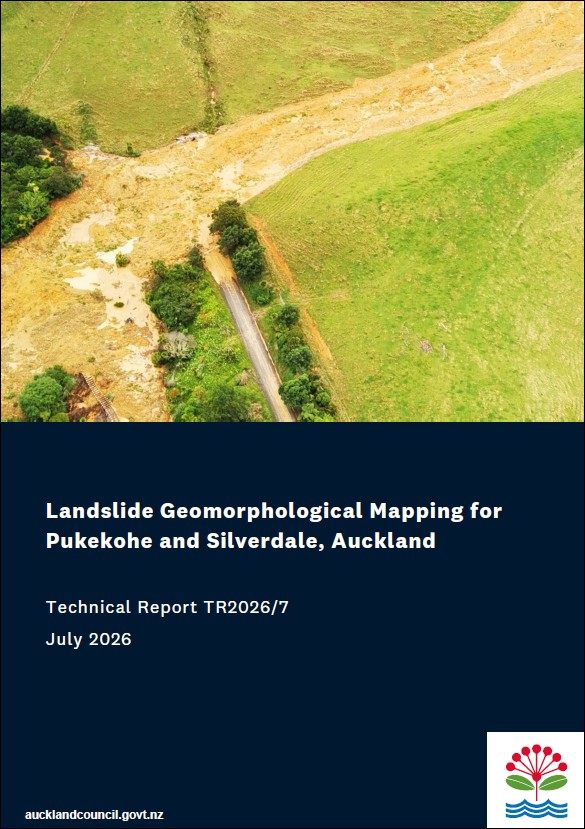
Landslide geomorphological mapping for Pukekohe and Silverdale, Auckland
Author:
Enakshi (Nikki) Chakravorty, Rebekah McLelland, Ross RobertsSource:
Auckland Council, Engineering, Assets and Technical Advisory DepartmentPublication date:
2026Topics:
Environment ,PeopleLandslide geomorphological mapping for Pukekohe and Silverdale, Auckland
Executive summary
Landslides are one of Aotearoa New Zealand’s – and Tāmaki Makaurau Auckland’s – most significant natural hazards. To address this, Auckland Council has developed a range of strategies to proactively manage landslide and other natural hazard risks and improve the region’s resilience to their impacts.
A reliable understanding of where landslides have occurred in the past is fundamental to effective landslide risk management. As part of this process, this cover report introduces a detailed landslide mapping study that was undertaken for the Pukekohe and Silverdale areas, as an extension of the government-funded Urban Geological Mapping Project. The study provides detailed landslide inventories for both areas which were selected because they are expected to experience significant urban growth, and because they have relatively complex geological conditions.
Each study area involved detailed geomorphological mapping based on LiDAR-derived topographic data, expert interpretation of landslide features, and the creation of GIS-based datasets structured for integration into the New Zealand Open Landslides Database (NZOLD).
The Pukekohe landslide mapping resulted in an inventory of 921 landslides, while in the Silverdale study area, 7,310 were documented. In Silverdale this included enhanced assessment of built-up areas and classification of human terrain modifications because many landslides were partially obscured by development.
Both datasets comprise geospatial polygons delineating landslide extents, and associated point features with descriptive attributes. These provide Auckland Council and other technical practitioners with robust spatial information to support landslide management and land-use planning decision triggers.
The results include a wide range of landslide ages and activity. In other words, some of the landslides are recent or currently actively moving, while others are historical features representing movement in the past. As such, the use of this information for decision-making should be carefully considered in the context of the study and the data provided for each individual landslide.
This study represents an important step toward improving the understanding of landslide hazards in Auckland’s rapidly developing urban and peri-urban environments.
Auckland Council technical report, TR2026/7
Auckland Council, July 2026
See also
Detailed map of landslides, Pukekohe
Detailed map of landslides in the Pukekohe area, southern Auckland, GNS 2024/101
Detailed map of landslides, Silverdale
Detailed map of landslides in the Silverdale area, northern Auckland, GNS 2025/01